









The story
Fiction and adapted settings written by Akitsora Gaming for this title, including invented dialogue and events. This is not a historical or folklore reference. The rules and specification tables define the gameplay and math.
A coastal map is a survey rope, a compass board, and every step a small crew took along the shore.
I. Setting out
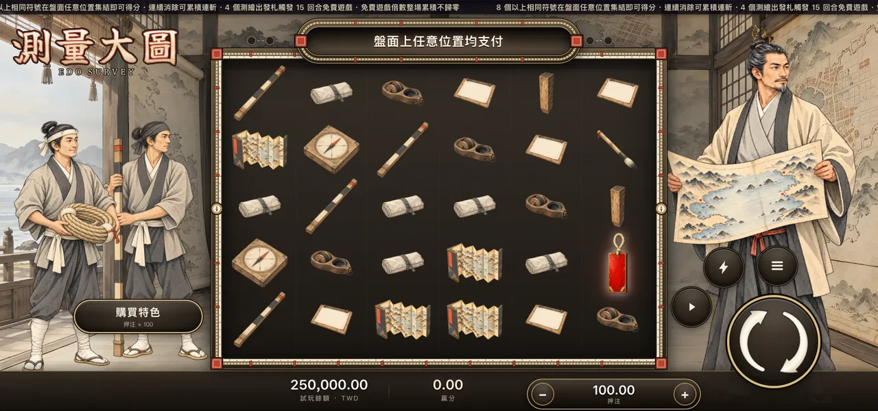
When the departure tag is hung, the leader clips a blank sheet to the drawing board, one surveyor shoulders the rope coil and the other wipes down the measuring staff — this trip follows the coast all the way.
II. Measuring the land
The rope is pulled taut, a vermilion marker knot at every interval; the staff stands on the next station, the compass needle swings and settles, and the leader stamps a vermilion point on the map and joins it to the last with a dashed line.
The number on a falling golden needle is the weight of the spin (base game ×2 to ×20).
III. Joining the great map
Gather 4 departure tags and the sheets are laid edge to edge on the study's drafting table, the vermilion survey line running unbroken along the coast. Over the next 15 spins the multiplier keeps growing (×2 to ×500).
3 more departure tags add 5 more spins.
IV. Fixing the map
With the last stretch measured, the leader runs a finger along the whole coastline, every vermilion point exactly where it belongs — and the sheet is ready for the atlas.